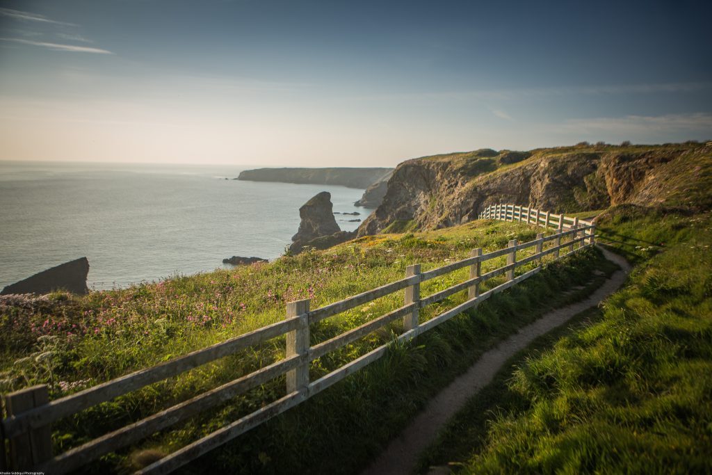
Padstow- an Area of Outstanding Natural Beauty
Now the summer crowds have departed for another year, we have the time to look around us and truly appreciate what an incredibly beautiful part of the world we live in. Padstow is bounded by two Areas of Outstanding Natural Beauty, defined as land protected by the Countryside and Rights of Way Act of 2000, which protects the land in order to conserve and enhance its natural characteristics. One of these areas stretches down the coast to Carnewas, also known as Bedruthan Steps, and the other winds its way down the Camel Estuary as far as Wadebridge. Whilst these areas are so close together, they each contain very different and diverse landscapes and species.

Carnewas to Stepper Point
The dramatic cliffs of Carnewas are an energising start to our journey, and provide the backdrop to the Southwest Coast Path, which follows these undulating headlands towards Padstow. Should you find yourself here of an evening, don’t forget to look up, as Bedruthan is a Dark Sky Discovery Site and one of the only places in Cornwall where the Milky Way is visible to the naked eye. The coastal scenery here is marked by elevated headlands which rise from the sea below, and provide habitats for kittiwakes, choughs and cormorants. As you follow the coast path, evidence of past inhabitants is everywhere around you, with Bronze-age barrows and an Iron Age Cliff castle sitting proudly atop Park Head, a site probably used as far back as 1stCentury BC. The scenery changes as you reach Treyarnon Bay and the golden swathe of sand at Constantine, where huge sand dunes run as a backbone along the sand. Trevose Head rears up from the surf, topped by a lighthouse built in 1847 to guide vessels through the treacherous Bristol Channel. Now home to the Padstow RNLI station, this headland provides hope to all lost or in peril in the sea. As the coast path continues North, you pass the coves of Mother Iveys Bay and Big Guns Bay and arrive at the gentle sweep of sand that is Harlyn. This area in particular is a haven for birdlife, who plunder the arable fields just in from the shoreline for food. Kestrels, buzzards and peregrine falcons are a regular sight, and should you visit in autumn or spring, you may catch a glimpse of an osprey as they pass through on their migration to and from West Africa.
After stopping at Rocky Beach for a dip in the sea pool and some of the best rock pooling on the coast, you find yourself on the other side of Trevone beach, gazing into The Round Hole. This unique landmark was formed when a large sea cave collapsed and on a big tide, the boom of the waves can be heard from miles around. The path from Trevone to Stepper takes you past iconic North Cornwall landscapes and offers more opportunities to see some of this counties incredible bird life, as the craggy cliffs offer the perfect place for nesting and rearing young. As the path leads you along the coast you will pass through Tregudda Gorge, a place of many local myths and legends. Waterfall’s plunge to the sea, and on a misty morning it’s easy to see why this place garnered a reputation for being the home of sirens. If you have avoided the call of the sea, and managed to keep to the path, you will see Butterhole Beach below you, nestled within the steep cliffs. Only accessible from the water at low tide, this is the perfect spot to live out your shipwreck fantasies. Passing Pepper Hole, a collapsed sea cave from which the booms of the tide can he heard and felt as you pass above, you see the Daymarker Tower at Stepper Point rise above you. This landmark was built in the nineteenth century to guide sailors safely into the mouth of the Camel Estuary, and away from the threat of being wrecked on The Doom Bar. Now home to a National Coastwatch Institution lookout point, the tradition of keeping those at sea safe continues from this very place.

The Camel Estuary
From its rising point on Bodmin Moor, the river Camel winds its way through changing landscapes to make its way into the sea between Stepper Point and Pentire Point. Its seemingly incongruous title comes from the Cornish name, “Dowr Kammel”, which means crooked river and is clearly evidenced from its path to the sea. This lively waterway is home to many species that live along its banks and in its waters and is renowned for birding and fishing. Badgers and roe deer are seen at the water’s edge, and otters are seen in increasing numbers. The estuary is a sea bass conservation area, and flounders hide in the brackish waters around Little Petherick Creek. Occasionally bottle nosed dolphins and basking sharks can be seen in the mouth of the estuary, and seals, puffins and guillemots are regular visitors to the craggy cliffs that open out to the Celtic Sea. Underwater, the Padstow Marine Conservation Zone protects around 90km2 of varying habitats, including flat rocky reefs which are home to a rich community of animals and seaweeds, including Pink Sea Fan Coral and Spiny Lobsters. Padstow has a long history of fishing, and the waters of The Camel are still full of pouting and pollock, mainly due to large amounts of lugworm, which these breeds find delicious. In deeper waters you will find gurnard, cod and plenty of mackerel, especially lingering around one of Cornwall’s many shipwrecks.

